BIKE PATHS, RAIL TRAILS and CYCLE ROUTES
(www.northeastvictoria.online)
Bright to Harrietville
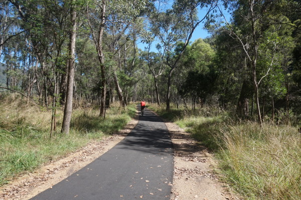
The Bright to Harrietville shared pathway (pedestrian and cycle) basically follows the GAR from Bright to Germantown, and the next section (that includes several new bridges) leads off to Freeburgh, Smoko and Harrietville.
The complete route covers about 24km (each way) and offers a mix of surroundings, with the best scenery to be found between Germantown and Freeburgh, and then from McMahons Road through to about a kilometre beyond the Harrietville Trout Farm.
However, the complete journey is very enjoyable, and it is a popular outing from both ends of the trail.
The Bright Visitor Information Centre (link below) has more info on this great project.
See also the Bright and Surrounds Cycle Guide (available from Visitor Information Centres in the North-east) where a detailed map of this ride can be found under Great Valley Trail.
Intro Screen on a fresh browser page
Bright Visitor Information Centre
COPYRIGHT © 1995-2024, Chris McLaughlin.