LAKE DARTMOUTH
(www.northeastvictoria.online)
Lake Dartmouth is located on the Mitta Mitta River 25km from the township of Mitta Mitta. It has a surface area of 62sq/km and extends back 40km from the Dam Wall. The original town of Dartmouth, after which the Lake was named, is now inundated.
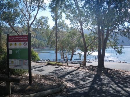
The Lake is easily accessible via the Murray Valley Highway from Wodonga to Tallangatta, the Omeo Highway to Mitta Mitta and then the Lake Dartmouth Road, a total of 130km from Wodonga. The boat ramp near the southern end of the Dam Wall is accessible from Dartmouth township (turn south at the Caravan Park) but not from the Dam Observation Area.
The RACV Map ‘High Country’ provides details of the main access to the Lake, but more detailed maps (at a scale of 1:100 000) are required for the wilderness camps mentioned below.
The lake waters are clear and, reputedly, abound with fish and, combined with excellent scenery, this makes Lake Dartmouth an enjoyable venue for experienced paddlers. However, care should be taken not to get too far from the shoreline as the open expanses of the Lake are exposed to wind.
For the adventurous lake canoeist there are two designated wilderness camps along the lakeshore. The first is at Eight Mile Creek, almost opposite the boat ramp, but four kilometres south of it, and the second is at Eustace Gap Creek, on the eastern shore, 15km from the ramp.
For the casual paddler wanting a base camp there is a caravan park-camping area, and motel, in the new town of Dartmouth, four kilometres from the Dam Wall.
Intro Screen on a fresh browser page
COPYRIGHT © 1995-2020, Chris McLaughlin.