MOUNT BEAUTY WALKS
(www.northeastvictoria.online)
Cranky Charlie Fire Track
The East Kiewa River is one of the main alpine rivers of Victoria, and rises in the high country around Falls Creek, and the Bogong High Plains.
This interesting walk leads down to the East Kiewa, and can be tackled entirely on foot, or with the aid of a short drive. In either case, the walk is rated as AWTGS-2.
For the full version; starting out from the environs of the town centre, take Hollands Street, and then make a right turn, and a left turn, to pick up Tawonga Crescent so as to head upslope to the Golf Club.
From here, the track initially parallels the Bogong High Plains Road, but then cuts loose to do it’s own thing as a beautiful single file track that leads around the valley slopes.
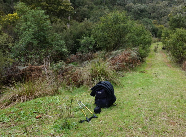
Ignore the left turn that lead down to the East Kiewa River, and continue on the footpad to an intersection at the xxkm mark.
Turn left here, and follow this track (the Cranky Charlie Fire Trail) as it descends down towards the East Kiewa. The descent to the river is alpine style, with several sharp bends, but is not particularly steep.
Once at the river, there is plenty of interesting riverine scenery to admire, and this a great place to linger for a while. Some walkers take a dip here, but be aware that the river level can rise and fall quite quickly in response to hydro-electric operations.
The overall distance for the complete walk is about eight kilometres, and the time required is about three hours.
If you prefer to drive, take the Bogong High Plains Road out of town, and then carefully swing left at GPS 36/44/44.3 : 147/11/31.6, onto the un-signposted Cranky Charlie Fire Trail (which is notionally 4wd) about 400m before the u-bend known as Cranky Charlie. Having carefully parked the hardware, you can now take the Fire Trail downhill to the East Kiewa.
This shortened version takes about an hour, and covers about 3.5 kilometres.
COPYRIGHT © 1995-2020, Chris McLaughlin.