BIKE PATHS, RAIL TRAILS and CYCLE ROUTES
(www.northeastvictoria.online)
WINTON WETLANDS
The Winton Wetlands were created out of what was formerly Lake Mokoan; however, prior to the creation of the Lake (in 1971), this was a wetland system, so things have gone full circle.
In 1971, the wetlands were flooded to create Lake Mokoan, an off-river irrigation storage for the waters of the Broken River, which rises to the north-east of Mansfield.
In 2006 the Lake was decommissioned as a storage, and following this decision water was no longer siphoned out of the River, and restoration of the original wetland habitat was commenced.
There are many combinations of track in the environs of the wetlands, and these are detailed in the Winton Wetlands Cycling Guide , available at the Hub, and other Visitor Information Centres in the North-east.
This brochure includes descriptions of all of the rides in the area, as well a full colour map; there are about 40km of trails listed, and this is a popular venue for mountain bike riders.
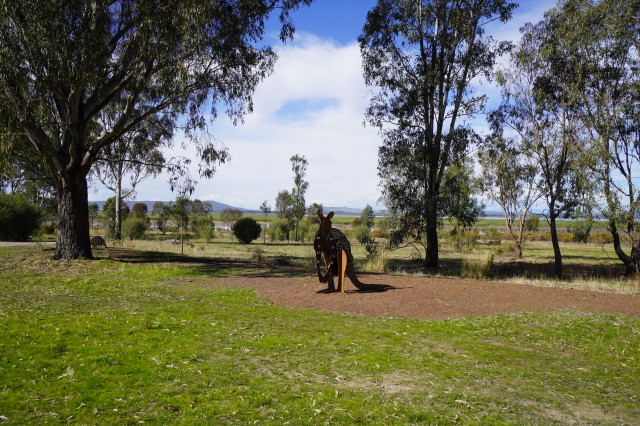
The Hub is home to an excellent cafe, with nice views over the waters of the Wetlands.
The views over the water are very pleasing, with some great profiles of the not too-distant Warby Ranges as as backdrop.
See the Winton Wetland description (under Benalla on the Main Menu) as well as the Wetlands website (link below) for more details of this area.
Intro Screen on a fresh browser page
COPYRIGHT © 1995-2023, Chris McLaughlin.